
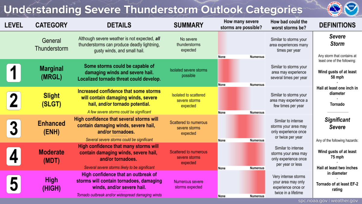
The TN Valley appears to be the center of likely severe-storm development, extending from south-central Kentucky. Strong deep-layer shear and hodographs would favor supercells in this corridor, which should have a better chance of weak to modest destabilization. A level 2-slight area appears to be warranted due to the consensus of model guidance regarding late afternoon to early evening storm development along/ahead of the front. The degree of early destabilization will determine how severe and